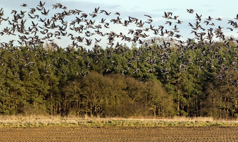
Geese flying over farmland cropped (credit: Ian Ward)
Managing the landscape for wildlife
Our natural world has suffered devastating declines in recent decades. That’s why we’re working to reverse these losses and take urgent action to tackle the nature and climate crises. Our vision is for a better, wilder future for Norfolk.
Together with land managers, communities and our partners, we are transforming nature’s recovery in Norfolk by putting wildlife at the heart of decision-making about Norfolk’s future. We protect and care for important natural areas such as County Wildlife Sites, reconnect important habitats, and support land managers, like farmers and communities, to create thousands of hectares of new, wilder spaces for nature.
We will achieve our vision by:
-
Increasing the abundance and diversity of wildlife on our land, in rivers and at sea – not just on our nature reserves, but across Norfolk, ensuring a resilient environment where wildlife can thrive.
-
Creating more space for nature. Our ambition is to see thousands of hectares of Norfolk restored or created for wildlife, contributing to the national Wildlife Trusts’ commitment of 30% of land and sea being managed for nature by 2030. This is part of an international aim to restore biodiversity and natural processes. These new, wilder spaces will help to draw down carbon, reduce local flooding and provide nature-based solutions to the climate crisis, as well as giving struggling species a chance to recover.
-
Connecting wild spaces. Our work with partners, communities and land managers across Norfolk’s land, coast and sea will help create a nature recovery network, made up of interconnected wild places, so wildlife can move freely to access the resources they need to thrive into the future.
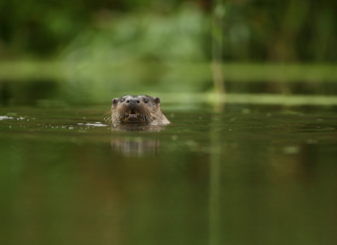
Luke Massey
